


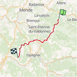


10,3 km | 14,5 km-effort

Benutzer


Kostenlosegpshiking-Anwendung
 SityTrail
IGN / Geografische Institute
SityTrail World
Die Welt öffnet sich für Sie
Tour Pferd von 30 km verfügbar auf Okzitanien, Lozère, Mont Lozère et Goulet. Diese Tour wird von alfreson vorgeschlagen.
On commence par revenir sur nos pas par la fin de la boucle précédente, puis on continue par les pinèdes, les campagnes et la caisse de Sauveterre. Boucle facile à l'exception d'un passage très technique dans les rochers!!!


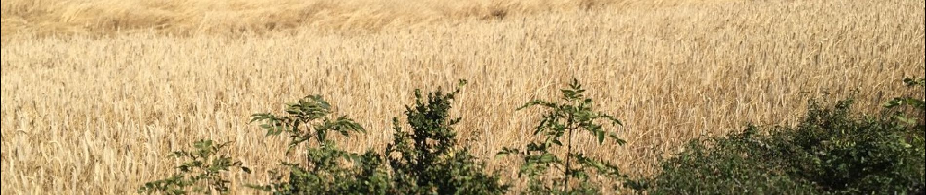
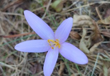
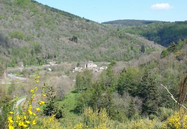
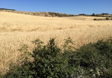
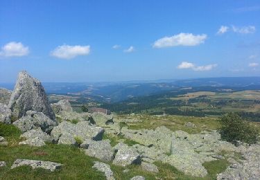
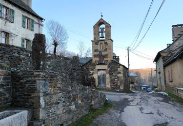
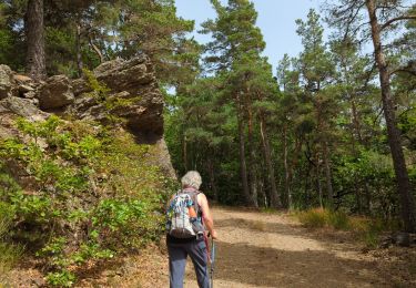
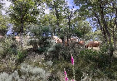
33 Fotos insgesamt. Klicken Sie auf ein Foto, um sie alle in der Galerie zu sehen.

Andere Aktivitäten
Wandern

Wandern
Wandern
Pferd
Wandern
Wandern
Wandern
Wandern